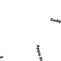
63 DODGE RD
Owner Information
CAMMUSO STEPHEN J
63 DODGE RD
SUTTON, MA 01590


Property Details
63 DODGE RD is classified as a Single Family Residential (Colonial).
The primary structure on this property was built in 1977. There are 4110ft2 of built area within this property. There is 1985ft2 of residential/living space within this property. This property is listed as having 7 rooms.
63 DODGE RD is valued at 374900. The land is valued at 136800 and the structures are valued at 222800. There is an additional valuation of 15300 on this property.
This property is in Zone R1. Confirm with local Zoning Board authorities to ensure there are no overlays or other easements on this property.
The most recent deed for 63 DODGE RD is recorded at the local registrar in Book 60148, Page 0255. 63 DODGE RD was last sold on 2019-03-14 for 1.
Assessment data from fiscal year 2022.
Flood Data
According to the FEMA National Flood Hazard Layer, this property does not appear to be in a flood zone. It may also be in an area not yet reviewed. Nonetheless, confirm this information prior to taking any action.
To view the flood hazards around this property, create a FEMA "Firmette" Map of the area around 63 DODGE RD.
Broadband Internet Providers
| Provider | Type | Bandwidth (mbps) | |
|---|---|---|---|
| GCI Communication Corp. | Satellite | 0 | 0 |
| Charter Communications Inc | Cable | 940 | 35 |
| HughesNet | Satellite | 25 | 3 |
| Viasat Inc | Satellite | 100 | 3 |
| Verizon New England Inc. | DSL | 5 | 0 |
| Verizon New England Inc. | Fiber | 940 | 880 |
| VSAT Systems, LLC. | Satellite | 2 | 1 |
Broadband service provider data from December 2020.
Adjacent Properties
- 96 HARTNESS RD
Single Family Residential owned by THORNTON MICHAEL W - 92 HARTNESS RD
Single Family Residential owned by DUBOIS GEORGE W - 86 HARTNESS RD
Single Family Residential owned by CANNATA KAREN M - 59 DODGE RD
Single Family Residential owned by BESHIRI LIVING TRUST - 65 DODGE RD
Single Family Residential owned by BONNER PHILIP